The Center for Geographic Information Systems (CGIS) of the Ministry of Municipality and Environment (MME) carried out aerial photography of Al Shamal, Ruwais, and Abu Dhalouf, using drones, as part of its plan to update the digital aerial imagery database for geographic information systems in the country.
The photography was done with a high resolution of 5 cm (that is, each point or pixel on the map represents five square centimeters in reality).
The CGIS, through its adoption of this system, seeks to benefit from modern technologies and integration with the rest of the means of updating data from satellite images and images captured by conventional aviation and field survey, to update the databases of digital geographic information systems of all kinds and make them available to ministries and government institutions through the national network of geographic information systems.
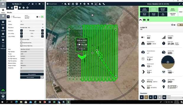
The drones can fly at low altitudes between 240 and 500 meters for up to an hour.
The CGIS uses this type of drones to photograph areas with relatively limited areas to update and according to the need of ministries and state institutions for such images. The center owns a fleet of drones consisting of seven types of fixed-wing or propeller aircraft.
All stages of the work are carried out, starting from the development of the flight plan, photography, and filming, followed by processing aerial images and converting them into geographic information systems data, by a specialized team of the center's staff.
Al Khor and parts of Doha will be photographed in the next stage.