The Ministry of Municipality and Environment has concluded the first phase of geological maps project in co-operation with Gannett Fleming firm and United States Geological Survey.
The phase included gathering available data of relevance, analysing it, entering it into the database of the ministry’s Infrastructure Planning Department, and designing a framework for the following stages of the project.
Upon its completion, the national project will provide maps, surveys and detailed geological reports for the country as well as 3D models for geometric land features in Doha and beyond, and a detailed survey for materials and natural resources that can be beneficial in construction and road projects.
The outputs of the project will serve as a planning reference that benefits the Ministry of Municipality and Environment, other government entities and the private sector.
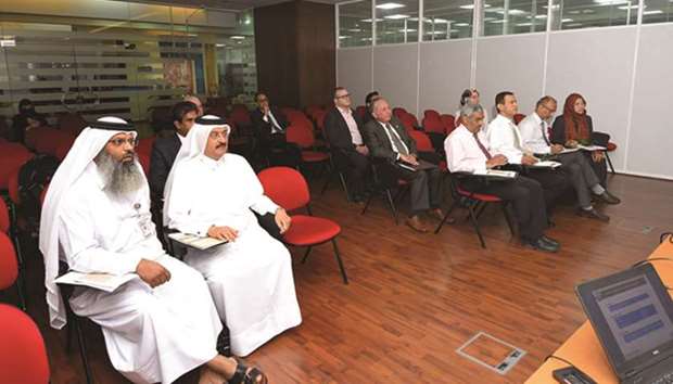
The ministry’s Infrastructure Planning Department held yesterday the final meeting of the first phase in the presence of a number of specialised officials and the technical team handling the project at the infrastructure planning department and the project’s technical committee.

The Infrastructure Planning Department held yesterday the final meeting of the first phase in the presence of a number of specialised officials.
