


|
India launched the first of seven satellites for its domestic satellite navigation network late Monday, in the first step to creating a scaled down version of the US Global Positioning System. |
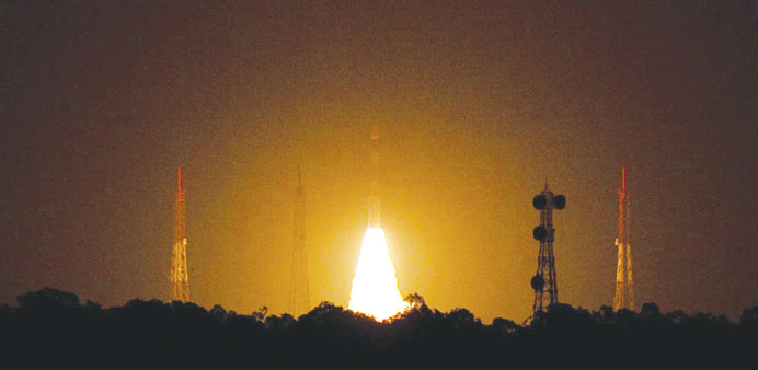
A rocket took off in late in the night from Sriharikota in Andhra Pradesh and injected the 600kg satellite into orbit 20 minutes later.
Once fully operational in 2015, the Indian Regional Navigation Satellite System (IRNSS) will provide accurate positioning services for civilian and military users across India and up to 1,500km beyond its borders.
“The remaining six navigational satellites will be launched at every six months over the next 30-36 months,” Indian Space Research Organisation (ISRO) chairman K Radhakrishnan said after the launch.
The US’ GPS is the most widely used network by consumers with 24 satellites, but other countries including Russia, the European Union and most recently China have developed rival positioning systems.
China’s Beidou, or Compass, navigation system started providing services in the region in December, and is expected to offer global coverage by 2020.
Beijing began building the network in 2000 to avoid relying on the US GPS system. Reports have said Pakistan was set to become the fifth Asian country to use the Chinese system.
The IRNSS will provide commercial and public navigational services such as helping with disaster management as well as movements of India’s military, including those of ships and aircraft.
Indian officials estimate the project will cost Rs14.2bn ($238.6mn.)
India has a well-established space programme which is a source of strong national pride, but its cost has attracted criticism as the government struggles to tackle poverty and child malnutrition.