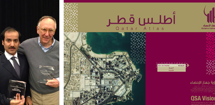
Al-Maliki receives Atlas Awards from Jack Dangermond, Chairman of Esri Institute. Right: Atlas Qatar is considered as reference to display the integrated image of Qatar.
Atlas Qatar and its digital publication were ranked first in the world during the International Conference of Geographic Information System (GIS), organised by the Science & Environment Researches Institute (Esri) in San Diego, California.
The conference, held from July 8-12, is one of the biggest worldwide GIS conferences in terms of the participant countries and audience. More than 130 countries and over 14,000 participants, including senior officials, experts and specialists in GIS took part in this conference seeking to present the up-to-date applications, electronic systems, Atlases, maps regarding various social, economic and environmental fields as well as expertise exchange among the participants concerning GIS.
The Ministry of Development Planning & Statistics (MDPS) participated in this conference with its up-to-date publications, Atlas Qatar and Digital Atlas, which were developed and drafted using the latest techniques of GIS. Besides, the other countries participated with scientific and thematic Atlases in various specialisations and high quality levels, the fact that made it so hard for the jury to choose the best one as per the applied standards and measures.
At the closing ceremony, the results showed that Atlas Qatar and its digital version were ranked first as a clear proof for Qatar’s solid and strong infrastructure in terms of GIS applied to different areas, most importantly to the issuance of Geographic Atlases.
Mansour al-Maliki, Head of Information Technology Department and representative of the ministry, praised the efforts exerted by the specialised team that produced this book on a high level of quality and perfection. Further, he explained that the officials and audience at the conference appreciated the achievement, great success and advanced level that ranked Qatar on top of the world countries in the field of GIS and Geographic Atlases.
Atlas Qatar is the third publication in Atlas series which were issued in Qatar. The second publication was ranked second worldwide in 2007 at the same conference, whereas the Digital Atlas took the third place worldwide in 2008 at the same conference.
Atlas Qatar is considered as reference to display the integrated image of Qatar. It represents the geographic dimension of social, economic and environmental phenomena which have steadily changed during the recent years. By virtue of Atlas Qatar, the results of Qatar’s previous censuses have been displayed, including the General Census for Population, Housing and Establishments 2010.
The statistical data of the country are represented in thematic maps, graphs supported by its explanatory paragraphs according to topic of each subject. In parallel, Atlas Qatar has great role in making statistics and information available to a large segment of users from all walks of life, including planners, decision makers, researchers, students, visitors and tourists in general.
It presents its data concisely and expressively through the multi-display modes either in the form of digital media or publications. Besides, it is deemed one of the key sources of information and statistical & geographic data required for development processes that Qatar is witnessing in several areas.
In addition, it monitors the country’s huge development and its trends related to infrastructure and urban communities and population, the fact that requires statistical follow-up through collection, analysis and publishing of data. It is one of the main sources to support the strategic sectors for Qatar National Vision 2030, seeking to be able to establish the future plans and strategies derived from the 14 sectors of the National Development Strategy.