The
work being carried out by the Supreme Committee for Delivery &
Legacy (SC)’s Geographic Information Systems (GIS) team has been
honoured at a special gathering in Doha.
The department, responsible
for mapping the rapid infrastructure progress across the country,
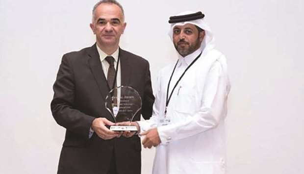
received a special award for the ‘Application of Geospatial Technology
at National Level’ from the Ministry of Municipality and Environment
(MME), sc.qa reported.
Nasser al-Kuwari, GIS & BIM senior manager
at the SC, said: “We are delighted that our work has been recognised by
the MME, and look forward to working closely with our stakeholders over
the next five years and beyond – as we continue to deliver amazing for
Qatar.
“We are living in a momentous period in Qatar’s history – with
progress and development happening on an almost daily basis, and it is a
great privilege to be part of the team charged with documenting this
journey.
“When visitors come to Qatar, they often comment that Google
Maps cannot keep up with the rapid changes, but – building on our
enhanced access to updated information — we are proud to say we can.”
The event, which was organised to mark World GIS Day, was attended by more than 130 GIS, IT and engineering professionals.
As
well as the SC, the Public Works Authority (Ashghal), Qatar Rail, Qatar
Petroleum, Ministry of Interior, Primary Health Care Corp, Ministry of
Development Planning and Statistics, Ministry of Transport and
Communications, Hamad Medical Corp, Qatar General Electricity and Water
Corp (Kahramaa), Civil Aviation Authority and the Internal Security
Force were also represented, the report said.
The SC’s GIS system
receives data from ministries and key stakeholders across the country,
and develops active maps to reflect Qatar’s numerous infrastructure
projects, including stadium developments, roads, the Doha Metro and
others.
It is designed to capture, store, manipulate, analyse, manage and present all types of spatial or geographical data.
In the SC’s case, the system allows users to view and analyse information, add comments and present the results.
It’s
especially useful in giving an overview of how all the venues, along
with the accommodation and travel options for the 2022 FIFA World Cup,
will be linked, the report explains.
The SC’s GIS system will
continue to evolve over the coming months and years to reflect the
passage from construction to delivery, and then from the test events to
the actual tournament, and finally, the legacy phase.

The officials with the award.
